3D Laser scanning Company in INDIA.
In today’s fast-paced industrial and construction environments, precision and accuracy are crucial. One of the most advanced methods for achieving these goals is 3D modelling from point cloud data. This technique involves capturing millions of data points through laser scanning technology, which are then processed into a detailed and accurate 3D model. Testronix Engineering is at the forefront of this technology, providing cutting-edge solutions across various industries.
When renovating or restoring older buildings, traditional blueprints may be outdated or unavailable. Point cloud data provides a precise record of the existing conditions, allowing for accurate planning and design.
In complex industrial environments, such as oil refineries or manufacturing plants, 3D models from point clouds enable better planning and design of new installations or modifications, reducing the risk of errors and costly rework.
For historic structures, point cloud data can capture intricate details that are essential for preservation and restoration efforts, ensuring that every feature is accurately represented.
From bridges to tunnels, 3D models derived from point clouds are crucial for infrastructure projects, providing a clear understanding of existing conditions and helping to plan for future development.
Traditional measurement techniques can be prone to human error, but point clouds eliminate much of this risk by capturing every detail with high precision.
This results in models that are not only accurate but also comprehensive, providing a complete view of the scanned environment.
Additionally, the use of point clouds can significantly reduce project timelines. With accurate data available from the outset, designers and engineers can make informed decisions more quickly, avoiding delays and ensuring that projects stay on schedule.
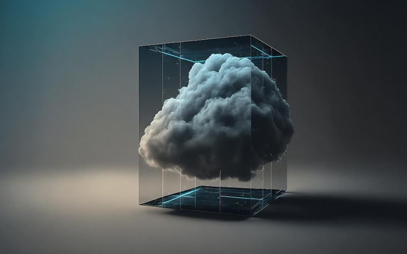
3D modeling from point cloud data is a powerful tool that brings real-world accuracy into the digital realm. By converting millions of data points into detailed, precise 3D models, this technology is enhancing the way we design, plan, and execute projects across a range of industries.
Whether it's for renovation, industrial development, or infrastructure projects, 3D modeling from point clouds is setting new standards for precision and efficiency.
We Specialize in
3D Laser Scanning | High-Precision Surveying | Mapping And Surveying | Digital Twins | Lidar Technology | Spatial Data | 3D Modeling Point Cloud Data | Asset Management | As-Built Documentation | BIM (Building Information Modeling) | Virtual Reality (VR) Integration | CAD (Computer-Aided Design) Integration | Data Processing | LFD Generation | True View Generation | Scan To 2D | 2D Layouts To 3D Modelling | Isometrics Generation | 3D Model To 2D Layouts
© TestronixEngineering - All Rights Reserved