3D Laser scanning Company in INDIA.
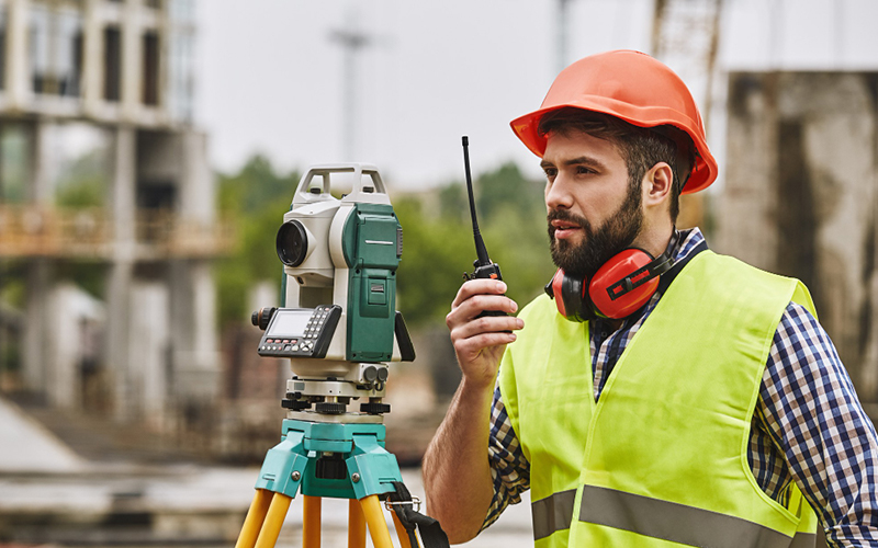
In today’s fast-paced industrial and construction landscapes, the need for precise and reliable data is more critical than ever. High-precision surveying and mapping form the backbone of successful project execution, ensuring that every measurement, boundary, and topographical feature is accurately captured and documented. At Testronix Engineering, we specialize in providing advanced high-precision surveying and mapping services that empower our clients to make informed decisions, reduce risks, and optimize their operations.
Whether it’s determining property boundaries, assessing site conditions, or designing infrastructure, high-precision data ensures that all planning is based on accurate and reliable information. This reduces the risk of costly errors and rework later in the project.
Improved Construction Accuracy In construction, even the smallest deviation from design specifications can lead to significant problems. High-precision surveying and mapping ensure that all elements of a project are built according to exact specifications. From laying foundations to erecting structures, precise measurements are key to maintaining quality and safety standards.
Effective Land and Asset Management For land management and asset maintenance, detailed mapping is essential for tracking and managing resources. High-precision surveying provides the data needed to monitor land use, manage natural resources, and plan for future development. In industrial settings, it helps in the efficient management of facilities, ensuring that all assets are accounted for and maintained properly.
Regulatory Compliance Compliance with local, state, and federal regulations is critical in many industries. High-precision surveying and mapping ensure that projects meet all necessary legal and regulatory requirements, reducing the risk of fines, delays, and other complications.
Testronix Engineering is dedicated to providing our clients with the most accurate and reliable surveying and mapping services available. Our team of experienced professionals is equipped with the latest technology and industry knowledge, allowing us to deliver results that exceed expectations. We understand that every project is unique, and we tailor our services to meet the specific needs of each client, ensuring that you receive the precise data required for your success.
We Specialize in
3D Laser Scanning | High-Precision Surveying | Mapping And Surveying | Digital Twins | Lidar Technology | Spatial Data | 3D Modeling Point Cloud Data | Asset Management | As-Built Documentation | BIM (Building Information Modeling) | Virtual Reality (VR) Integration | CAD (Computer-Aided Design) Integration | Data Processing | LFD Generation | True View Generation | Scan To 2D | 2D Layouts To 3D Modelling | Isometrics Generation | 3D Model To 2D Layouts
© TestronixEngineering - All Rights Reserved