3D Laser scanning Company in INDIA.
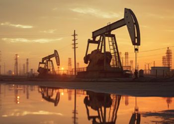
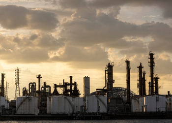
Facility Management:
Accurate 3D models of refineries, pipelines, and storage tanks help in maintenance, inspections, and safety assessments.
Offshore Platforms:
Laser scanning captures detailed data of complex offshore structures for design, retrofitting, and safety analysis.

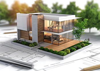
BIM (Building Information Modeling):
Laser scanning provides precise as-built data to enhance the accuracy of BIM models.
Progress Monitoring:
Regular scans help track construction progress, identify deviations, and ensure compliance with design specifications.
Restoration & Preservation:
Scanning historic buildings or monuments allows for accurate documentation and restoration planning.
Structural Analysis:
Engineers can use scanned data to analyze the integrity of structures and plan reinforcements.
Plant Layout Optimization:
Scanning existing facilities aids in optimizing layouts, planning equipment installations, and minimizing downtime.
Reverse Engineering:
Detailed scans of components and machinery allow for reverse engineering and quality control.
Bridge & Tunnel Inspection:
Laser scanning is used to assess the condition of bridges, tunnels, and other critical infrastructure.
Roadway Design:
Accurate topographic data from laser scanning assists in roadway design, grading, and drainage planning.
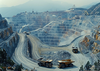
Volume Calculations:
Scanning open-pit mines or quarries helps in calculating material volumes for inventory and resource management.
Safety Assessments:
Scanning allows for the monitoring of slopes, overhangs, and other potential safety hazards.

Transmission Lines:
Scanning helps in planning, monitoring, and maintaining power transmission lines and substations.
Facility Upgrades:
Accurate as-built data aids in planning upgrades or expansions of power generation facilities.

Tower Inspections:
Laser scanning is used to inspect and document cell towers, ensuring structural integrity and compliance.
Network Planning:
Scanning helps in the design and planning of new telecommunication infrastructure.

Aircraft Maintenance:
Laser scanning assists in the maintenance, repair, and overhaul of aircraft by providing detailed 3D models.
Military Applications:
Scanning is used for site surveys, base planning, and the development of virtual training environments.

Forest Management:
Scanning forests provides data for managing resources, assessing biomass, and monitoring environmental changes.
Coastal Monitoring:
Scanning coastlines helps in tracking erosion, sea-level rise, and other environmental factors.
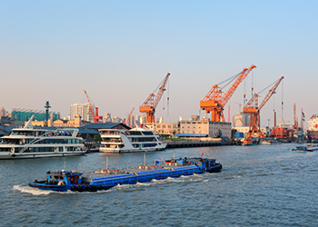
Ship Inspections:
Laser scanning captures the geometry of vessels for inspections, retrofitting, and repair work.
arbor Management:
Scanning assists in the design, maintenance, and expansion of harbor facilities.

Space Planning:
Scanning provides accurate floor plans and space utilization data for property management and leasing.
Virtual Tours:
High-resolution scans can be used to create virtual tours for marketing and sales.

Virtual Set Design:
Scanning real-world locations for use in films, video games, and VR experiences.
Cultural Heritage:
Scanning historical sites and artifacts for digital preservation and virtual exhibitions.
We Specialize in
3D Laser Scanning | High-Precision Surveying | Mapping And Surveying | Digital Twins | Lidar Technology | Spatial Data | 3D Modeling Point Cloud Data | Asset Management | As-Built Documentation | BIM (Building Information Modeling) | Virtual Reality (VR) Integration | CAD (Computer-Aided Design) Integration | Data Processing | LFD Generation | True View Generation | Scan To 2D | 2D Layouts To 3D Modelling | Isometrics Generation | 3D Model To 2D Layouts
© TestronixEngineering - All Rights Reserved